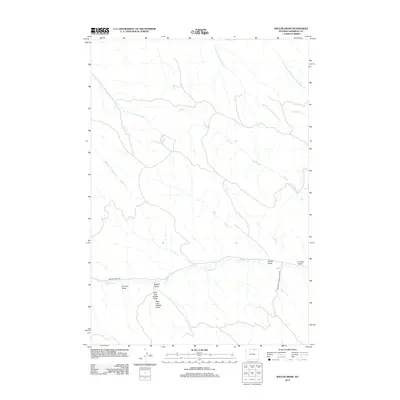
2012 Map of Shuler Draw
USGS Topo · Published 2012About this map
Shuler Draw and its network of ephemeral watercourses define the high plains of Sheridan County, Wyoming. The terrain is characterized by a series of significant draws, including Foxhall Draw, Luman Draw, and the bifurcated Griffith Draw, with its West Fork Griffith Draw and East Fork Griffith Draw. These features demonstrate the intricate drainage patterns that have sculpted this ranching landscape over generations.
Find a feature on this map
15 named features on this map. Tap any name to fly to it.
Don’t see what you’re looking for? This feature index may not catch every label — zoom into the map to look around manually.
Map Details
Editions of this 2012 Shuler Draw Map
This is the sole edition of this map. No revisions or reprints were ever made.
Other maps of this area

1909 · Sheridan
USGS Topo · 1:125,000

1911 · Sheridan
USGS Topo · 1:125,000

1955 · Sheridan
USGS Topo · 1:250,000

1958 · Sheridan
USGS Topo · 1:250,000

1962 · Sheridan
USGS Topo · 1:250,000
1970 · O T O Ranch
USGS Topo · 1:24,000
1970 · Ulm
USGS Topo · 1:24,000
1970 · S R Springs
USGS Topo · 1:24,000
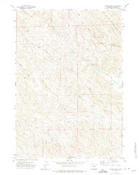
1971 · Shuler Draw
USGS Topo · 1:24,000
1971 · Clearmont
USGS Topo · 1:24,000