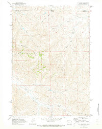
1970 Map of O T O Ranch
USGS Topo · Published 1973About this map
High-country ranching life along the border of Sheridan County and Big Horn County defines this 1970 landscape. The terrain is dominated by the Badger Hills, where a complex system of drainages including Windmill Draw and Deer Creek carve through the upland. This survey captures a moment when the regional economy remained centered on sprawling livestock operations like the OTO Ranch and the 77 Ranch.
Find a feature on this map
21 named features on this map. Tap any name to fly to it.
Don’t see what you’re looking for? This feature index may not catch every label — zoom into the map to look around manually.
Map Details
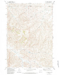
Editions of this 1970 O T O Ranch Map
2 editions found
Other maps of this area

1909 · Sheridan
USGS Topo · 1:125,000

1911 · Sheridan
USGS Topo · 1:125,000

1954 · Hardin
USGS Topo · 1:250,000

1955 · Sheridan
USGS Topo · 1:250,000

1957 · Hardin
USGS Topo · 1:250,000

1958 · Hardin
USGS Topo · 1:250,000

1958 · Sheridan
USGS Topo · 1:250,000

1962 · Sheridan
USGS Topo · 1:250,000

1967 · Holmes Ranch
USGS Topo · 1:24,000
1967 · Pine Butte School
USGS Topo · 1:24,000