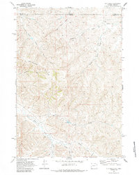
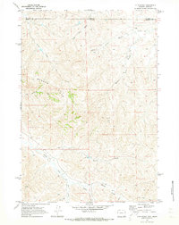
1970 Map of O T O Ranch
USGS Topo · Published 1984About this map
Oto Ranch and the 77 Ranch anchor this landscape along the high borderlands where Sheridan County, Wyoming, meets the Montana state line. The terrain is defined by the Badger Hills and a complex network of seasonal drainages, including North Fork Waddle Creek, Prong Waddle Creek, and the long Mile Long Draw. This 1970 field-checked survey reveals a ranching economy dependent on dispersed water sources, with several Well sites and a Corral situated near Spring Creek. Transport through this remote section of the Powder River Basin is limited to primitive routes, such as the Jeep Trail that winds between the Randall Prong and Parker Prong. The mapping of selected fence lines across these draws provides a specific look at property boundaries and land use in the northern High Plains during the late twentieth century.
Find a feature on this map
21 named features on this map. Tap any name to fly to it.
Don’t see what you’re looking for? This feature index may not catch every label — zoom into the map to look around manually.
Map Details
Editions of this 1970 O T O Ranch Map
2 editions found
Other maps of this area

1909 · Sheridan
USGS Topo · 1:125,000

1911 · Sheridan
USGS Topo · 1:125,000

1954 · Hardin
USGS Topo · 1:250,000

1955 · Sheridan
USGS Topo · 1:250,000

1957 · Hardin
USGS Topo · 1:250,000

1958 · Hardin
USGS Topo · 1:250,000

1958 · Sheridan
USGS Topo · 1:250,000

1962 · Sheridan
USGS Topo · 1:250,000

1967 · Holmes Ranch
USGS Topo · 1:24,000
1967 · Pine Butte School
USGS Topo · 1:24,000