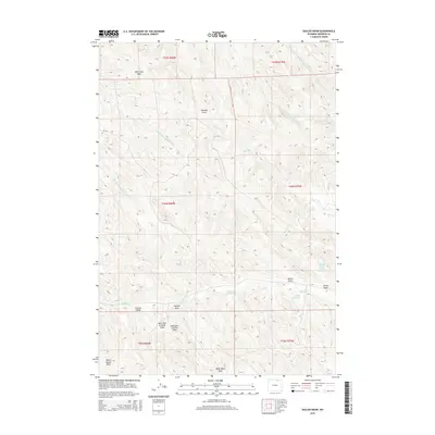
2015 Map of Shuler Draw
USGS Topo · Published 2015About this map
Sheridan County's high plains drainage patterns are meticulously detailed in this 2015 study of the Wyoming landscape. The terrain is defined by a dense network of coulees and draws that feed the regional watershed, including the uniquely named Black Stump Draw and Dead Mans Draw in the southern reaches. This area is a complex web of seasonal watercourses where the W Prong Hanging Woman Cr and its tributaries, such as the East Prong W Prong Hanging Woman Cr, navigate the subtle elevation changes of the prairie.
Find a feature on this map
26 named features on this map. Tap any name to fly to it.
Don’t see what you’re looking for? This feature index may not catch every label — zoom into the map to look around manually.
Map Details
Editions of this 2015 Shuler Draw Map
This is the sole edition of this map. No revisions or reprints were ever made.
Other maps of this area

1909 · Sheridan
USGS Topo · 1:125,000

1911 · Sheridan
USGS Topo · 1:125,000

1955 · Sheridan
USGS Topo · 1:250,000

1958 · Sheridan
USGS Topo · 1:250,000

1962 · Sheridan
USGS Topo · 1:250,000
1970 · O T O Ranch
USGS Topo · 1:24,000
1970 · Ulm
USGS Topo · 1:24,000
1970 · S R Springs
USGS Topo · 1:24,000
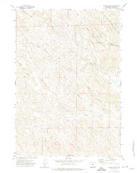
1971 · Shuler Draw
USGS Topo · 1:24,000
1971 · Clearmont
USGS Topo · 1:24,000