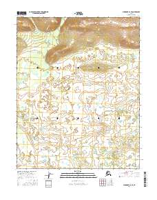
2016 Map of Shungnak A-2 SE
USGS Topo · Published 2016About this map
The northern expanse of the Shungnak A-2 SE quadrangle is defined by significant topographical relief, where contour lines tightly trace the rising elevations above the surrounding wetlands. This remote Alaskan landscape, situated within the Yukon-Koyukuk region, exhibits the distinct transition from high-altitude terrain to a lower-lying basin dominated by complex hydrological patterns. The map is primarily organized by the Public Land Survey System, with the land divided across t8n r10e, t8n r11e, t7n r10e, and t7n r11e. These township and range designations provide the primary framework for locating specific points within this undeveloped wilderness. The mapping of these boundaries, alongside the National Wetlands Inventory data, illustrates the intricate network of water and elevation that characterizes this part of the Alaskan interior during the early twenty-first century.
Find a feature on this map
4 named features on this map. Tap any name to fly to it.
Don’t see what you’re looking for? This feature index may not catch every label — zoom into the map to look around manually.
Map Details
Editions of this 2016 Shungnak A-2 SE Map
This is the sole edition of this map. No revisions or reprints were ever made.
Other maps of this area

1951 · Shungnak
USGS Topo · 1:250,000

1951 · Kateel River
USGS Topo · 1:250,000

1954 · Kateel River D-1
USGS Topo · 1:63,360

1955 · Shungnak
USGS Topo · 1:250,000

1955 · Kateel River D-2
USGS Topo · 1:63,360

1955 · Kateel River
USGS Topo · 1:250,000

1964 · Shungnak
USGS Topo · 1:250,000
1985 · Shungnak A-1
USGS Topo · 1:63,360
1985 · Shungnak A-2
USGS Topo · 1:63,360
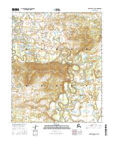
2016 · Kateel River D-2 NE
USGS Topo · 1:25,000