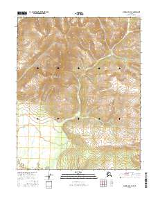
2016 Map of Shungnak A-3 NE
USGS Topo · Published 2016About this map
Purcell Mountains dominates this portion of the Alaskan interior, where the topography of the central range gives way to the lower drainage basins of the north. This U.S. Geological Survey topographic study captures a transition in the landscape within the Yukon-Koyukuk region, characterized by high ridge elevations and the emerging drainage patterns that define the northern terrain. The absence of road infrastructure or permanent settlements reflects the enduring isolation of this remote mountain district. The map provides a precise rendering of the township and range boundaries, including t10n r8e and t9n r9e, which organize the vast, unpopulated wilderness for public land administration and mineral survey. Researchers can trace the complex system of ridgelines and slopes that shape the hydrology of this subarctic environment.
Find a feature on this map
7 named features on this map. Tap any name to fly to it.
Don’t see what you’re looking for? This feature index may not catch every label — zoom into the map to look around manually.
Map Details
Editions of this 2016 Shungnak A-3 NE Map
This is the sole edition of this map. No revisions or reprints were ever made.
Other maps of this area

1951 · Shungnak
USGS Topo · 1:250,000

1955 · Shungnak
USGS Topo · 1:250,000

1964 · Shungnak
USGS Topo · 1:250,000
1985 · Shungnak A-3
USGS Topo · 1:63,360
1985 · Shungnak B-3
USGS Topo · 1:63,360
1985 · Shungnak B-2
USGS Topo · 1:63,360
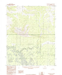
1985 · Shungnak A-2
USGS Topo · 1:63,360
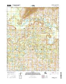
2016 · Shungnak A-3 SE
USGS Topo · 1:25,000
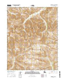
2016 · Shungnak B-3 SE
USGS Topo · 1:25,000
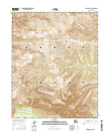
2016 · Shungnak A-2 NW
USGS Topo · 1:25,000