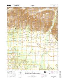
2016 Map of Shungnak A-3 NW
USGS Topo · Published 2016About this map
The Continental Divide defines the northern reaches of this Alaskan interior landscape, marking the high transition where water begins its long descent toward the Arctic and Pacific drainage basins. Moving south, the terrain softens into the lower valleys where Billy Hawk Cr winds across the surveyor townships of t9n r7e and t8n r7e. The landscape is defined by the rigid grid of the Public Land Survey System, superimposed over a wilderness of shifting wetlands and braided watercourses. This map documents a remote section of the Yukon-Koyukuk region, where the primary human footprint is found in the meticulous surveying of township and range lines rather than roads or settlements. It provides a look at the hydrography and topography of the Brooks Range foothills as they appeared in the early twenty-first century.
Find a feature on this map
10 named features on this map. Tap any name to fly to it.
Don’t see what you’re looking for? This feature index may not catch every label — zoom into the map to look around manually.
Map Details
Editions of this 2016 Shungnak A-3 NW Map
This is the sole edition of this map. No revisions or reprints were ever made.
Other maps of this area

1951 · Shungnak
USGS Topo · 1:250,000

1955 · Shungnak
USGS Topo · 1:250,000

1964 · Shungnak
USGS Topo · 1:250,000

1985 · Shungnak B-4
USGS Topo · 1:63,360
1985 · Shungnak A-3
USGS Topo · 1:63,360
1985 · Shungnak B-3
USGS Topo · 1:63,360
1985 · Shungnak A-4
USGS Topo · 1:63,360
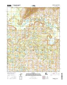
2016 · Shungnak A-3 SE
USGS Topo · 1:25,000
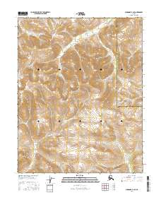
2016 · Shungnak B-3 SE
USGS Topo · 1:25,000
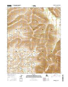
2016 · Shungnak A-4 SE
USGS Topo · 1:25,000