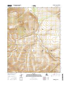
2016 Map of Shungnak B-2 SE
USGS Topo · Published 2016About this map
The Continental Divide winds through the northern portion of this remote Alaskan landscape, marking the high ground where water is partitioned across the interior. This high-altitude terrain is characterized by steep contours and the winding course of Wheeler Cr, which drains toward the southeast. The map clearly delineates the administrative boundary between the Northwest Arctic Borough Yukon-Koyukuk Census Area, cutting through a region defined by its isolation and lack of developed infrastructure. This 2016 survey, produced with data from the U.S. Geological Survey and the Alaska Department of Transportation, highlights a wilderness area where the land's shape is the primary story, unmarred by roads or permanent settlements.
Find a feature on this map
7 named features on this map. Tap any name to fly to it.
Don’t see what you’re looking for? This feature index may not catch every label — zoom into the map to look around manually.
Map Details
Editions of this 2016 Shungnak B-2 SE Map
This is the sole edition of this map. No revisions or reprints were ever made.
Other maps of this area

1951 · Shungnak
USGS Topo · 1:250,000

1955 · Shungnak
USGS Topo · 1:250,000

1964 · Shungnak
USGS Topo · 1:250,000
1985 · Shungnak B-1
USGS Topo · 1:63,360
1985 · Shungnak A-1
USGS Topo · 1:63,360
1985 · Shungnak B-2
USGS Topo · 1:63,360
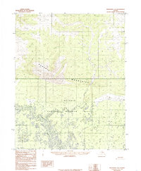
1985 · Shungnak A-2
USGS Topo · 1:63,360
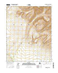
2016 · Shungnak B-1 SW
USGS Topo · 1:25,000
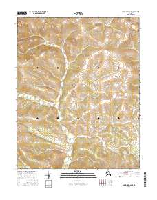
2016 · Shungnak A-2 NE
USGS Topo · 1:25,000
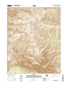
2016 · Shungnak A-2 NW
USGS Topo · 1:25,000