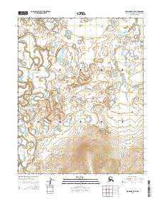
2015 Map of Shungnak B-6 SW
USGS Topo · Published 2015About this map
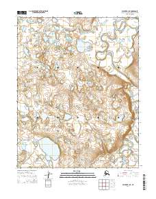
The Tagagawik River meanders across this northern landscape, forming a complex network of oxbows and wetlands characteristic of the Arctic lowlands. Surveyed in 2015, the map illustrates the intricate hydrography of the Northwest Arctic, where the river's path defines the shifting terrain between the local townships. Further east, the Ekiek Cr drainage flows through the tundra, carving subtle valleys into the surrounding hills. This topographic study by the U.S. Geological Survey details the elevation changes and seasonal water bodies that dictate movement across this region, offering an essential look at the land's natural contours and boundaries such as t11n r2w and t10n r1w.
Find a feature on this map
8 named features on this map. Tap any name to fly to it.
Don’t see what you’re looking for? This feature index may not catch every label — zoom into the map to look around manually.
Map Details
Editions of this 2015 Shungnak B-6 SW Map
This is the sole edition of this map. No revisions or reprints were ever made.
Other maps of this area

1951 · Selawik
USGS Topo · 1:250,000

1951 · Shungnak
USGS Topo · 1:250,000

1955 · Shungnak
USGS Topo · 1:250,000

1957 · Selawik
USGS Topo · 1:250,000

1964 · Shungnak
USGS Topo · 1:250,000
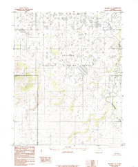
1985 · Selawik A-1
USGS Topo · 1:63,360
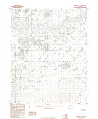
1985 · Shungnak B-6
USGS Topo · 1:63,360
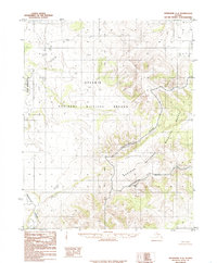
1985 · Shungnak A-6
USGS Topo · 1:63,360
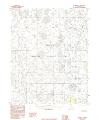
1985 · Selawik B-1
USGS Topo · 1:63,360
2014 · Selawik A-1 NE
USGS Topo · 1:25,000