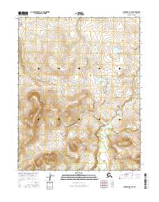
2016 Map of Shungnak C-4 SE
USGS Topo · Published 2016About this map
Kiliovilik Cr winds through this northern Alaskan landscape, providing the primary drainage for the area. The terrain is characterized by a series of prominent ridges and drainage basins, with the topography rising significantly across the surveyed townships of t14n r5e, t14n r6e, t13n r5e, and t13n r6e. The hydrological pattern suggests a complex network of seasonal flows and wetlands within the Northwest Arctic Borough. The absence of road infrastructure or named settlements emphasizes the undeveloped nature of this interior region during the early twenty-first century, as documented by the U.S. Department of the Interior.
Find a feature on this map
5 named features on this map. Tap any name to fly to it.
Don’t see what you’re looking for? This feature index may not catch every label — zoom into the map to look around manually.
Map Details
Editions of this 2016 Shungnak C-4 SE Map
This is the sole edition of this map. No revisions or reprints were ever made.
Other maps of this area

1951 · Shungnak
USGS Topo · 1:250,000

1955 · Shungnak
USGS Topo · 1:250,000

1964 · Shungnak
USGS Topo · 1:250,000

1985 · Shungnak B-4
USGS Topo · 1:63,360
1985 · Shungnak B-3
USGS Topo · 1:63,360
1985 · Shungnak C-3
USGS Topo · 1:63,360
1985 · Shungnak C-4
USGS Topo · 1:63,360
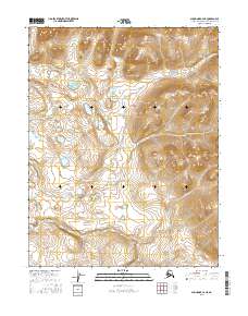
2016 · Shungnak C-4 NE
USGS Topo · 1:25,000
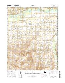
2016 · Shungnak B-4 NE
USGS Topo · 1:25,000
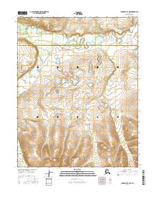
2016 · Shungnak B-3 NW
USGS Topo · 1:25,000