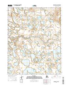
2015 Map of Shungnak C-6 SW
USGS Topo · Published 2015About this map
Kawichiark River and the Kugarak River define this portion of the Northwest Arctic landscape, carving through a region dominated by intricate hydrologic networks and small, scattered lakes. This 2015 survey illustrates a wilderness where seasonal water patterns dictate the geography, far from the influence of modern infrastructure. The map details the complex shoreline of the river bends and the numerous unnamed water bodies that pockmark the terrain, providing a look at the natural state of the Alaskan interior. The lack of man-made structures or permanent settlements emphasizes the environmental isolation of this high-latitude region, where the braided river systems remain the primary geographic landmarks for navigation and land use.
Find a feature on this map
8 named features on this map. Tap any name to fly to it.
Don’t see what you’re looking for? This feature index may not catch every label — zoom into the map to look around manually.
Map Details
Editions of this 2015 Shungnak C-6 SW Map
This is the sole edition of this map. No revisions or reprints were ever made.
Other maps of this area

1951 · Selawik
USGS Topo · 1:250,000

1951 · Shungnak
USGS Topo · 1:250,000

1955 · Shungnak
USGS Topo · 1:250,000

1957 · Selawik
USGS Topo · 1:250,000

1964 · Shungnak
USGS Topo · 1:250,000
1985 · Shungnak B-6
USGS Topo · 1:63,360
1985 · Selawik C-1
USGS Topo · 1:63,360
1985 · Selawik B-1
USGS Topo · 1:63,360
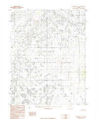
1985 · Shungnak C-6
USGS Topo · 1:63,360
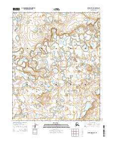
2015 · Shungnak B-6 NE
USGS Topo · 1:25,000