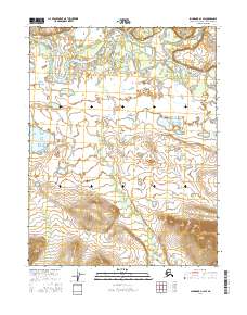
2016 Map of Shungnak D-1 SW
USGS Topo · Published 2016About this map
Kobuk River meanders through this interior Alaska landscape, creating a complex network of oxbow lakes and side channels across the northern reaches of the quadrangle. The river serves as the primary hydrological artery, joined by the Mauneluk River flowing from the northeast. To the southwest, the Kuikcherk River cuts through lower-lying terrain, defining a region characterized by extensive wetlands and seasonal water bodies. This 2016 survey highlights the dynamic nature of the Arctic river systems, where the shifting courses of these major waterways continuously reshape the surrounding lowlands. The map provides a detailed view of the township and range lines, including t17n r11e and t16n r12e, which overlay a territory largely defined by its natural water features rather than permanent human settlements.
Find a feature on this map
7 named features on this map. Tap any name to fly to it.
Don’t see what you’re looking for? This feature index may not catch every label — zoom into the map to look around manually.
Map Details
Editions of this 2016 Shungnak D-1 SW Map
This is the sole edition of this map. No revisions or reprints were ever made.
Other maps of this area

1951 · Shungnak
USGS Topo · 1:250,000

1955 · Shungnak
USGS Topo · 1:250,000

1955 · Shungnak D-2
USGS Topo · 1:63,360

1964 · Shungnak
USGS Topo · 1:250,000
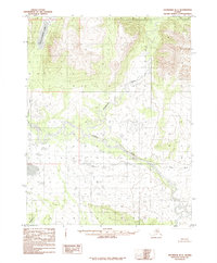
1985 · Shungnak D-1
USGS Topo · 1:63,360
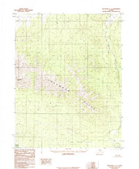
1985 · Shungnak C-1
USGS Topo · 1:63,360
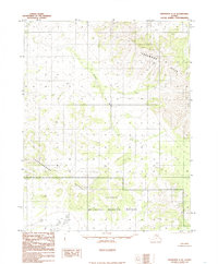
1985 · Shungnak C-2
USGS Topo · 1:63,360
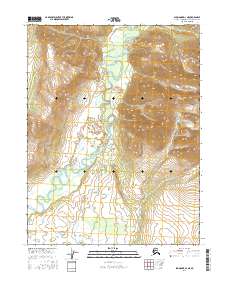
2016 · Shungnak D-1 NE
USGS Topo · 1:25,000
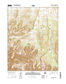
2016 · Shungnak C-1 NW
USGS Topo · 1:25,000
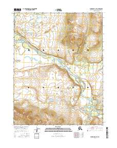
2016 · Shungnak D-1 SE
USGS Topo · 1:25,000