
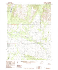
1955 Map of Shungnak D-2
USGS Topo · Published 1959About this map
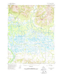
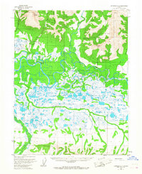
Kobuk and its surrounding wilderness are defined by the intricate meandering of the Kobuk River, which dominates this 1955 survey of the Northwest Arctic. The landscape transitions from the expansive, water-potted lowlands near the Kuikcherk River to the prominent elevations of the Lockwood Hills and Asbestos Mountain. This era captures a region shaped by subsistence and emerging infrastructure, evidenced by the Dahl Creek Airstrip and isolated markers of human presence like a Mine and various cabins.
Find a feature on this map
24 named features on this map. Tap any name to fly to it.
Don’t see what you’re looking for? This feature index may not catch every label — zoom into the map to look around manually.
Map Details
Editions of this 1955 Shungnak D-2 Map
3 editions found
Other maps of this area

1951 · Shungnak
USGS Topo · 1:250,000

1951 · Ambler River
USGS Topo · 1:250,000

1955 · Shungnak
USGS Topo · 1:250,000

1955 · Shungnak D-3
USGS Topo · 1:63,360

1956 · Ambler River
USGS Topo · 1:250,000

1964 · Shungnak
USGS Topo · 1:250,000

1964 · Ambler River
USGS Topo · 1:250,000
1985 · Ambler River A-3
USGS Topo · 1:63,360
1985 · Ambler River A-2
USGS Topo · 1:63,360
1985 · Shungnak D-1
USGS Topo · 1:63,360