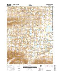
2016 Map of Shungnak D-4 SE
USGS Topo · Published 2016About this map
Shaleruckik Mtn dominates the northwestern terrain of this remote portion of the Northwest Arctic, where the landscape transitions from high ridges into an expansive network of wetlands and small water bodies. The Black River meanders through the central and eastern sections, defining the drainage patterns for the surrounding lowlands. This survey illustrates the intricate relationship between the elevated slopes of the mountain and the water-saturated plains that characterize the region. Mapping by the U.S. Geological Survey provides a precise view of the topography and public land survey boundaries, including t17n r5e and t16n r6e, which anchor the legal and geographical framework of this undeveloped wilderness.
Find a feature on this map
6 named features on this map. Tap any name to fly to it.
Don’t see what you’re looking for? This feature index may not catch every label — zoom into the map to look around manually.
Map Details
Editions of this 2016 Shungnak D-4 SE Map
This is the sole edition of this map. No revisions or reprints were ever made.
Other maps of this area

1951 · Shungnak
USGS Topo · 1:250,000

1955 · Shungnak
USGS Topo · 1:250,000

1955 · Shungnak D-4
USGS Topo · 1:63,360

1955 · Shungnak D-3
USGS Topo · 1:63,360

1964 · Shungnak
USGS Topo · 1:250,000
1985 · Shungnak C-3
USGS Topo · 1:63,360
1985 · Shungnak C-4
USGS Topo · 1:63,360
2015 · Shungnak D-4 SW
USGS Topo · 1:25,000
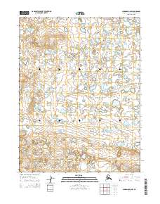
2015 · Shungnak D-4 NW
USGS Topo · 1:25,000
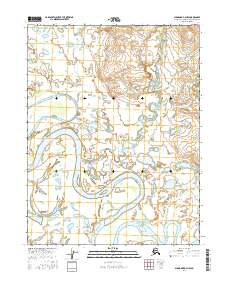
2016 · Shungnak D-3 NW
USGS Topo · 1:25,000