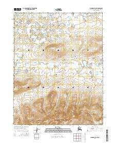
2015 Map of Shungnak D-4 SW
USGS Topo · Published 2015About this map
The Sheklukshuk Range dominates the southern reaches of this interior Alaskan landscape, where the terrain rises sharply from the marshy lowlands into a series of well-defined ridges and valleys. To the north, the topography transitions into a complex network of wetlands and seasonal ponds, drained primarily by Kerchurak Cr as it winds through the central sections. This specific area of the Northwest Arctic borough reflects the vast, undeveloped character of the region during the early twenty-first century, showing the transition from riparian corridors to high-elevation peaks. Small tributaries like Little Black Cr emerge from the northern hills, illustrating the intricate drainage patterns that define this subarctic environment between the foothills and the higher elevations of the range.
Find a feature on this map
7 named features on this map. Tap any name to fly to it.
Don’t see what you’re looking for? This feature index may not catch every label — zoom into the map to look around manually.
Map Details
Editions of this 2015 Shungnak D-4 SW Map
This is the sole edition of this map. No revisions or reprints were ever made.
Other maps of this area

1951 · Shungnak
USGS Topo · 1:250,000

1955 · Shungnak
USGS Topo · 1:250,000

1955 · Shungnak D-4
USGS Topo · 1:63,360

1955 · Shungnak D-5
USGS Topo · 1:63,360

1964 · Shungnak
USGS Topo · 1:250,000
1985 · Shungnak C-5
USGS Topo · 1:63,360
1985 · Shungnak C-4
USGS Topo · 1:63,360
2015 · Shungnak D-5 NE
USGS Topo · 1:25,000
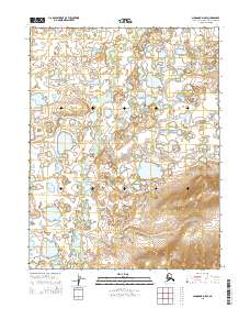
2015 · Shungnak D-5 SE
USGS Topo · 1:25,000
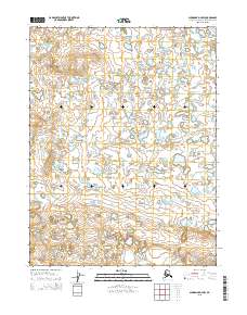
2015 · Shungnak D-4 NW
USGS Topo · 1:25,000