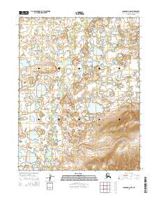
2015 Map of Shungnak D-5 SE
USGS Topo · Published 2015About this map
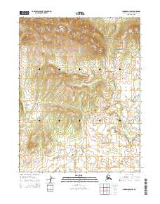
Kugarak River meanders north-to-south through this section of the Northwest Arctic, defining a low-lying landscape of wetlands and complex hydrography. The terrain is characterized by a high density of small, unnamed water bodies and saturated ground typical of the Arctic interior. Central to the eastern half of the map, Egaupak Lake serves as a prominent landmark in an otherwise unpopulated wilderness. The southern reaches are drained by the east-west flow of Kerchurak Cr, which cuts through the varied elevation of the northern foothills. This 2015 survey illustrates the sophisticated drainage patterns of the region's river systems, where subtle shifts in topography dictate the flow across the vast tundra.
Find a feature on this map
7 named features on this map. Tap any name to fly to it.
Don’t see what you’re looking for? This feature index may not catch every label — zoom into the map to look around manually.
Map Details
Editions of this 2015 Shungnak D-5 SE Map
This is the sole edition of this map. No revisions or reprints were ever made.
Other maps of this area

1951 · Shungnak
USGS Topo · 1:250,000

1955 · Shungnak
USGS Topo · 1:250,000

1955 · Shungnak D-4
USGS Topo · 1:63,360

1955 · Shungnak D-5
USGS Topo · 1:63,360

1964 · Shungnak
USGS Topo · 1:250,000
1985 · Shungnak C-5
USGS Topo · 1:63,360
1985 · Shungnak C-4
USGS Topo · 1:63,360
2015 · Shungnak D-5 NE
USGS Topo · 1:25,000
2015 · Shungnak D-5 NW
USGS Topo · 1:25,000
2015 · Shungnak C-5 NW
USGS Topo · 1:25,000