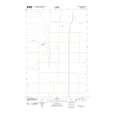
2011 Map of Sibley Butte
USGS Topo · Published 2011About this map
Sibley Butte dominates this prairie landscape in Burleigh County, providing a high-ground perspective over a region defined by agricultural grids and drainage networks. The East Branch Apple Creek meanders through the central terrain, its course partially managed by infrastructure like the Rice Lake Dam to the north. This survey illustrates the sprawling ranching culture of the early 21st century, most notably at the Pattersons Apple Creek Ranch Landing Strip, which points to the intersection of traditional land use and modern aviation. The map's grid of section roads, including 175th Ave NE and 301st St NE, reveals the precise geometric organization of the North Dakota countryside, where ranching interests and water management remain the primary drivers of the local economy and land development.
Find a feature on this map
20 named features on this map. Tap any name to fly to it.
Don’t see what you’re looking for? This feature index may not catch every label — zoom into the map to look around manually.
Map Details
Editions of this 2011 Sibley Butte Map
This is the sole edition of this map. No revisions or reprints were ever made.
Other maps of this area

1951 · McKenzie
USGS Topo · 1:62,500

1951 · Driscoll
USGS Topo · 1:62,500

1954 · Bismarck
USGS Topo · 1:250,000

1954 · McClusky
USGS Topo · 1:250,000

1958 · Bismarck
USGS Topo · 1:250,000

1958 · McClusky
USGS Topo · 1:250,000

1975 · McKenzie
USGS Topo · 1:24,000

1975 · Sibley Butte
USGS Topo · 1:24,000

1975 · Sterling
USGS Topo · 1:24,000

1975 · Wing SE
USGS Topo · 1:24,000