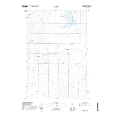
2018 Map of Sibley Butte
USGS Topo · Published 2018About this map
Sibley Butte dominates the western landscape of this Burleigh County region, rising as a prominent local landmark above the surrounding prairie. This area of central North Dakota is defined by its sprawling network of glacial wetlands and water bodies, most notably the expansive Rice Lake in the northeastern corner. The drainage pattern is further characterized by the meandering path of the E Br Apple Cr, which winds through the central and western sections of the quadrangle. The map illustrates a strictly organized rural township structure, with a grid of section lines and gravel roads such as 175th Ave Ne and 314th St Ne that dictate the settlement patterns of this agricultural heartland during the early twenty-first century.
Find a feature on this map
24 named features on this map. Tap any name to fly to it.
Don’t see what you’re looking for? This feature index may not catch every label — zoom into the map to look around manually.
Map Details
Editions of this 2018 Sibley Butte Map
This is the sole edition of this map. No revisions or reprints were ever made.
Other maps of this area

1951 · McKenzie
USGS Topo · 1:62,500

1951 · Driscoll
USGS Topo · 1:62,500

1954 · Bismarck
USGS Topo · 1:250,000

1954 · McClusky
USGS Topo · 1:250,000

1958 · Bismarck
USGS Topo · 1:250,000

1958 · McClusky
USGS Topo · 1:250,000

1975 · McKenzie
USGS Topo · 1:24,000

1975 · Sibley Butte
USGS Topo · 1:24,000

1975 · Sterling
USGS Topo · 1:24,000

1975 · Wing SE
USGS Topo · 1:24,000