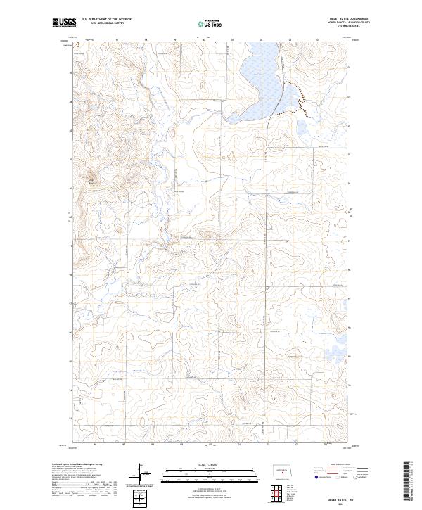
2024 Map of Sibley Butte
USGS Topo · Published 2024About this map
Sibley Butte dominates the local topography of this rural North Dakota landscape in Burleigh County. The area is defined by a sparse but organized grid of section roads, including 175th Ave NE and 288th St NE, which serve the expansive prairie and agricultural lands. In the northern reaches of the quadrangle, the Rice Lake basin and the headwaters of the East Branch Apple Creek provide the primary water features. The mapping reveals a traditional township and range structure, specifically detailing t140n r76w and its neighbors. This 2024 data captures the enduring rural character of the Great Plains, where large-scale land divisions and natural landforms remain the primary markers of human organization and geography.
Find a feature on this map
24 named features on this map. Tap any name to fly to it.
Don’t see what you’re looking for? This feature index may not catch every label — zoom into the map to look around manually.
Map Details
Editions of this 2024 Sibley Butte Map
This is the sole edition of this map. No revisions or reprints were ever made.
Other maps of this area

1951 · McKenzie
USGS Topo · 1:62,500

1951 · Driscoll
USGS Topo · 1:62,500

1954 · Bismarck
USGS Topo · 1:250,000

1954 · McClusky
USGS Topo · 1:250,000

1958 · Bismarck
USGS Topo · 1:250,000

1958 · McClusky
USGS Topo · 1:250,000

1975 · McKenzie
USGS Topo · 1:24,000

1975 · Sibley Butte
USGS Topo · 1:24,000

1975 · Sterling
USGS Topo · 1:24,000

1975 · Wing SE
USGS Topo · 1:24,000