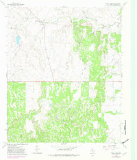
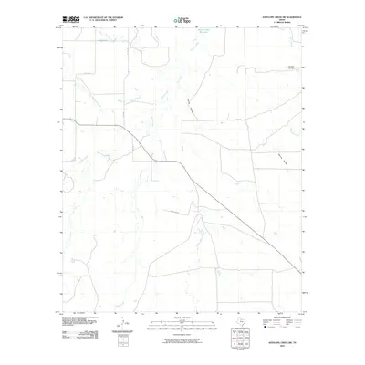
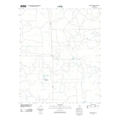
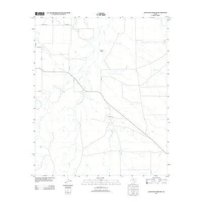
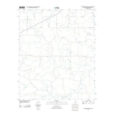
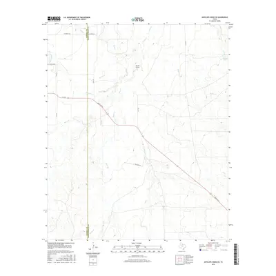
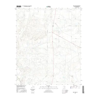
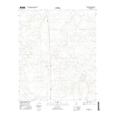
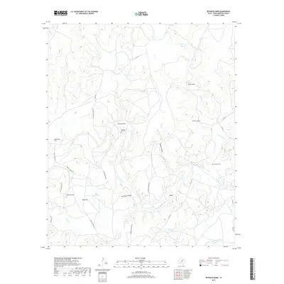
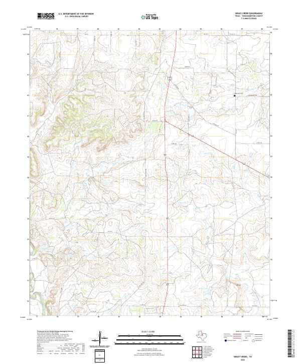
1966 Map of Sibley Creek
USGS Topo · Published 1982About this map
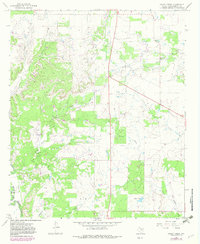
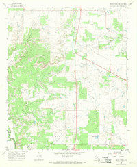
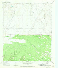
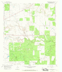
Sibley Creek and its surrounding drainage basins in Throckmorton County define this mid-century landscape, which shows a transition from traditional ranching to active petroleum extraction. The presence of extensive Oil Field labels and numerous oil wells suggests the economic importance of the industry to the region by the mid-1960s. Historical navigation of the rugged terrain is evidenced by McKeighan Crossing at the Clear Fork of the Brazos River, a significant point for river transit. Local genealogy and community markers are preserved through features like Bush Knob Cem and the small settlement of Richards. The map also captures distinctive topographical landmarks such as Bush Knob and Mount Air, alongside infrastructure like a Landing Strip and Roadside Park, which reflect the early modern development of this rural Texas territory during the period of aerial survey and field checking.
Find a feature on this map
19 named features on this map. Tap any name to fly to it.
Don’t see what you’re looking for? This feature index may not catch every label — zoom into the map to look around manually.
Map Details
Editions of this 1966 Sibley Creek Map
2 editions found
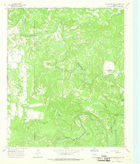
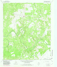
Historical Maps of Throckmorton County Through Time
60 maps found
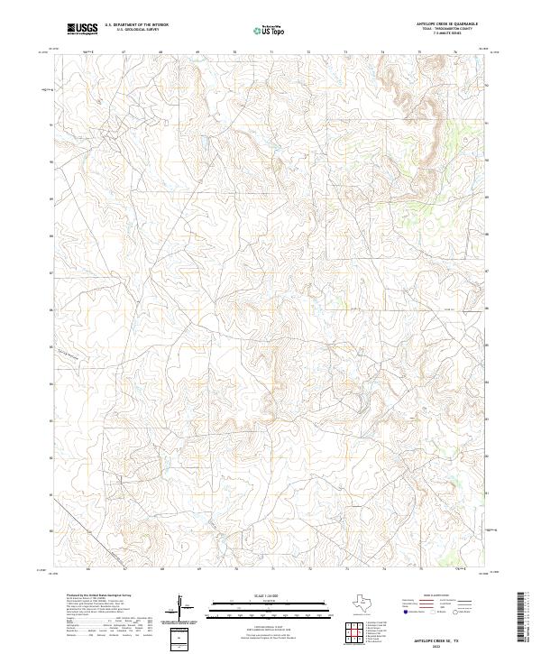
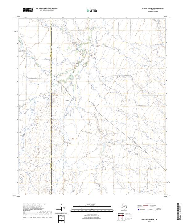
1962 Antelope Creek SE
Throckmorton County, TX
1962 Antelope Creek SW
Throckmorton County, TX
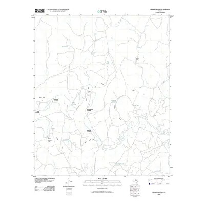
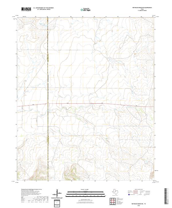
1965 Reynolds Bend NW
Throckmorton County, TX
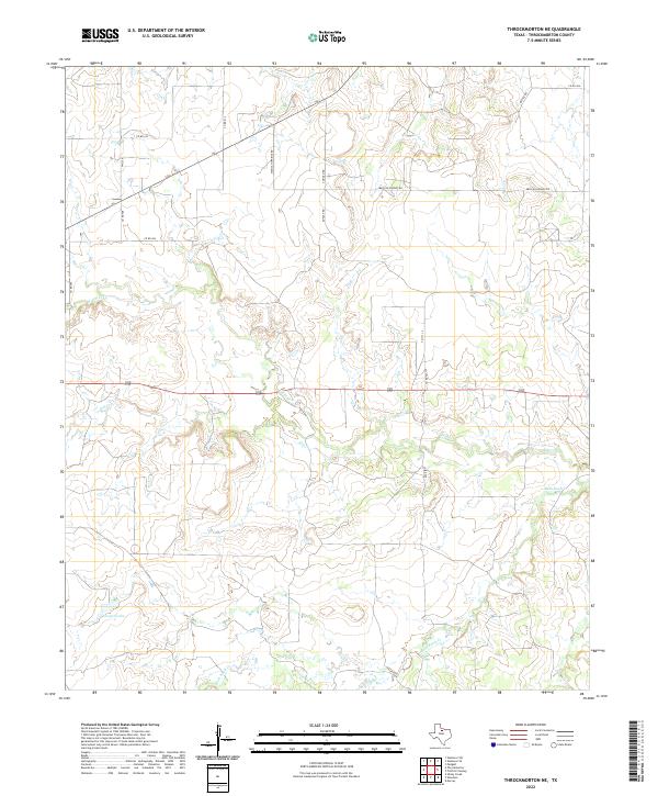
1965 Throckmorton NE
Throckmorton County, TX
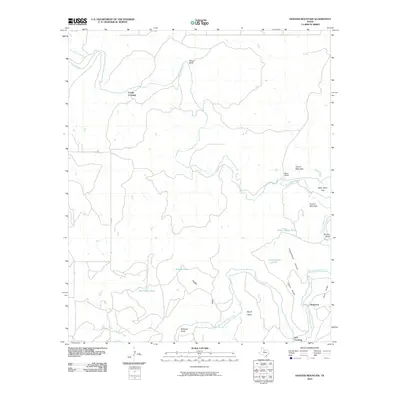
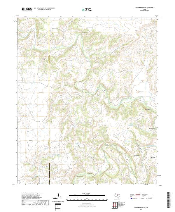
1966 Hoover Mountain
Throckmorton County, TX
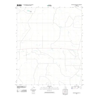
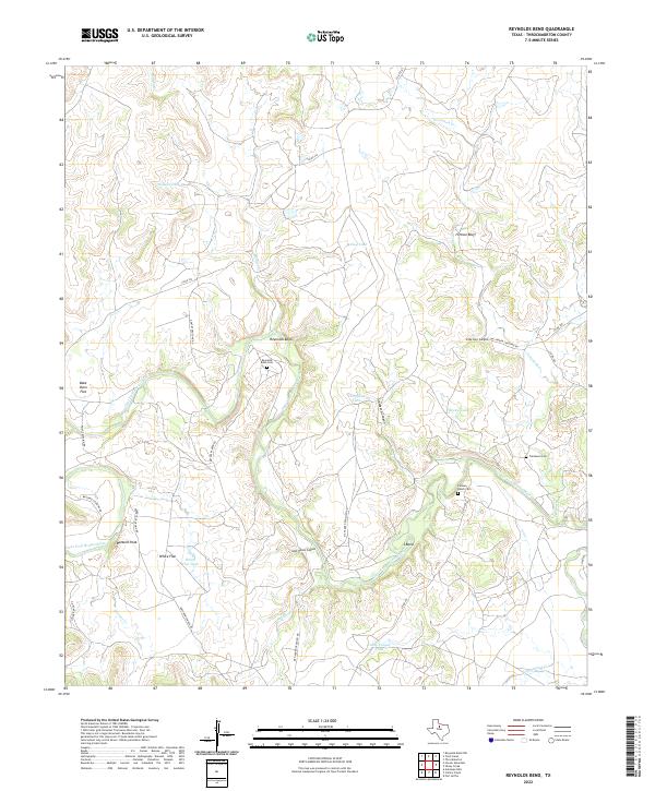
1966 Reynolds Bend
Throckmorton County, TX
1966 Sibley Creek
Throckmorton County, TX
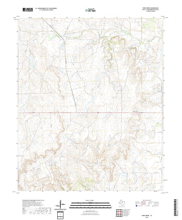
1966 Tonk Creek
Throckmorton County, TX
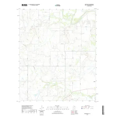
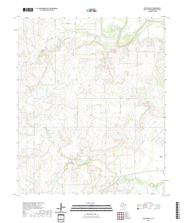
1966 Westover SE
Throckmorton County, TX
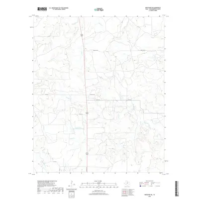
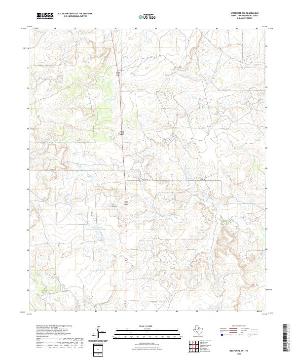
1966 Westover SW
Throckmorton County, TX
2010 Antelope Creek SE
Throckmorton County, TX
2010 Antelope Creek SW
Throckmorton County, TX
2010 Hoover Mountain
Throckmorton County, TX
2010 Reynolds Bend NW
Throckmorton County, TX
2010 Reynolds Bend
Throckmorton County, TX
2010 Sibley Creek
Throckmorton County, TX
2010 Throckmorton NE
Throckmorton County, TX
2010 Tonk Creek
Throckmorton County, TX
2010 Westover SE
Throckmorton County, TX
2010 Westover SW
Throckmorton County, TX
2012 Antelope Creek SE
Throckmorton County, TX
2012 Reynolds Bend NW
Throckmorton County, TX
2012 Westover SW
Throckmorton County, TX
2013 Antelope Creek SW
Throckmorton County, TX
2013 Hoover Mountain
Throckmorton County, TX
2013 Reynolds Bend
Throckmorton County, TX
2013 Sibley Creek
Throckmorton County, TX
2013 Throckmorton NE
Throckmorton County, TX
2013 Tonk Creek
Throckmorton County, TX
2013 Westover SE
Throckmorton County, TX
2016 Antelope Creek SE
Throckmorton County, TX
2016 Antelope Creek SW
Throckmorton County, TX
2016 Hoover Mountain
Throckmorton County, TX
2016 Reynolds Bend NW
Throckmorton County, TX
2016 Reynolds Bend
Throckmorton County, TX
2016 Sibley Creek
Throckmorton County, TX
2016 Throckmorton NE
Throckmorton County, TX
2016 Tonk Creek
Throckmorton County, TX
2016 Westover SE
Throckmorton County, TX
2016 Westover SW
Throckmorton County, TX
2019 Antelope Creek SE
Throckmorton County, TX

2019 Antelope Creek SW
Throckmorton County, TX
2019 Hoover Mountain
Throckmorton County, TX
2019 Reynolds Bend NW
Throckmorton County, TX
2019 Reynolds Bend
Throckmorton County, TX
2019 Sibley Creek
Throckmorton County, TX
2019 Throckmorton NE
Throckmorton County, TX
2019 Tonk Creek
Throckmorton County, TX
2019 Westover SE
Throckmorton County, TX
2019 Westover SW
Throckmorton County, TX
2022 Antelope Creek SE
Throckmorton County, TX
2022 Hoover Mountain
Throckmorton County, TX
2022 Reynolds Bend NW
Throckmorton County, TX
2022 Reynolds Bend
Throckmorton County, TX
2022 Sibley Creek
Throckmorton County, TX
2022 Throckmorton NE
Throckmorton County, TX
2022 Tonk Creek
Throckmorton County, TX
2022 Westover SE
Throckmorton County, TX
2022 Westover SW
Throckmorton County, TX
2023 Antelope Creek SW
Throckmorton County, TX