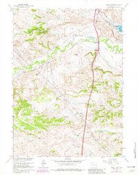
1961 Map of Sibley Peak
USGS Topo · Published 1982About this map
Sibley Peak and Anvil Peak overlook a landscape deeply marked by the corridors of westward expansion. The legendary Emigrant Trail traverses the northeastern terrain alongside the Pony Express St, with a dedicated Oregon Trail Marker signaling the route's historical significance. This 1961 survey, updated with 1981 revisions, documents the coexistence of pioneer paths with modern infrastructure like the Burlington Northern railroad and several pipelines.
Find a feature on this map
31 named features on this map. Tap any name to fly to it.
Don’t see what you’re looking for? This feature index may not catch every label — zoom into the map to look around manually.
Map Details
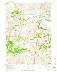
Editions of this 1961 Sibley Peak Map
2 editions found
Other maps of this area

1896 · Hartville
USGS Topo · 1:125,000

1901 · Hartville
USGS Topo · 1:125,000

1949 · Cedar Hill
USGS Topo · 1:24,000

1949 · Spring Creek
USGS Topo · 1:24,000

1950 · Glendo
USGS Topo · 1:24,000

1950 · Spring Creek
USGS Topo · 1:24,000

1950 · Jewel Springs
USGS Topo · 1:24,000

1950 · Coleman Butte
USGS Topo · 1:24,000

1950 · Herman Ranch
USGS Topo · 1:24,000

1950 · Cottonwood Falls
USGS Topo · 1:24,000