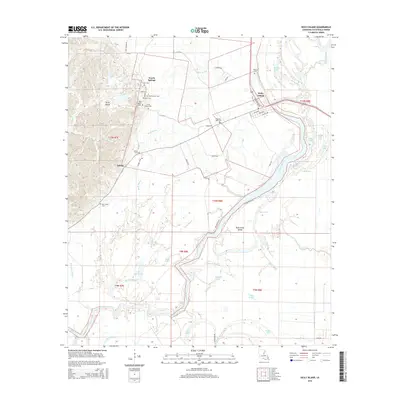
2015 Map of Sicily Island
USGS Topo · Published 2015About this map
Sicily Island rises as a prominent topographical feature in Catahoula Parish, defined by its complex network of bayous and scattered burial grounds. The settlement patterns around the town of Sicily Island and the neighboring community of Leland are densely packed with genealogical history, evidenced by nearly a dozen named cemeteries including the Old Pine Hill Cem, Peck Cem, and Norris Cem. The landscape is a labyrinth of water, where the Fool River and Black Bayou navigate around significant landforms like Duck Creek Island.
Find a feature on this map
68 named features on this map. Tap any name to fly to it.
Don’t see what you’re looking for? This feature index may not catch every label — zoom into the map to look around manually.
Map Details
Editions of this 2015 Sicily Island Map
This is the sole edition of this map. No revisions or reprints were ever made.
Other maps of this area

1939 · Red Gum
USGS Topo · 1:62,500

1941 · Manifest
USGS Topo · 1:62,500

1941 · Sicily Island
USGS Topo · 1:62,500

1941 · Harrisonburg
USGS Topo · 1:62,500

1953 · Natchez
USGS Topo · 1:250,000

1956 · Natchez
USGS Topo · 1:250,000

1957 · Sicily Island
USGS Topo · 1:62,500

1959 · Natchez
USGS Topo · 1:250,000

1959 · Harrisonburg
USGS Topo · 1:62,500

1960 · Jonesville
USGS Topo · 1:62,500