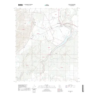
2018 Map of Sicily Island
USGS Topo · Published 2018About this map
Sicily Island rises as a prominent topographic feature within the alluvial plains of Catahoula Parish, defined by a complex network of bayous and wetlands. The settlement of Sicily Island itself serves as a central hub, surrounded by a high concentration of family and community burial grounds including Sicily Island Cem, Old Pine Hill Cem, and Peniston Cem. To the south, the community of Leland is situated near the Mason Cem, marking a landscape where dry-ground settlements transition into the saturated environment of the Mississippi River floodplain.
Find a feature on this map
65 named features on this map. Tap any name to fly to it.
Don’t see what you’re looking for? This feature index may not catch every label — zoom into the map to look around manually.
Map Details
Editions of this 2018 Sicily Island Map
This is the sole edition of this map. No revisions or reprints were ever made.
Other maps of this area

1939 · Red Gum
USGS Topo · 1:62,500

1941 · Manifest
USGS Topo · 1:62,500

1941 · Sicily Island
USGS Topo · 1:62,500

1941 · Harrisonburg
USGS Topo · 1:62,500

1953 · Natchez
USGS Topo · 1:250,000

1956 · Natchez
USGS Topo · 1:250,000

1957 · Sicily Island
USGS Topo · 1:62,500

1959 · Natchez
USGS Topo · 1:250,000

1959 · Harrisonburg
USGS Topo · 1:62,500

1960 · Jonesville
USGS Topo · 1:62,500