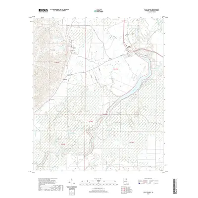
2020 Map of Sicily Island
USGS Topo · Published 2020About this map
Sicily Island serves as the focal point of this Catahoula Parish landscape, characterized by a complex network of wetlands and bayous at the edge of the Mississippi River floodplain. The area around Leland and the higher ground of the island is marked by a high density of small family and community burial grounds, such as Norris Cem, Peck Cem, and the Old Pine Hill Cem, which offer significant value for genealogical research. The hydrology of the region is exceptionally detailed, showing the winding paths of Hooter Bayou, Hilde Bayou, and Goose Bayou as they snake through the lowlands. Large bodies of water like George Lake and Willow Lake dominate the southern reach, illustrating the saturation of the terrain and the historical reliance on these waterways for local navigation and drainage.
Find a feature on this map
63 named features on this map. Tap any name to fly to it.
Don’t see what you’re looking for? This feature index may not catch every label — zoom into the map to look around manually.
Map Details
Editions of this 2020 Sicily Island Map
This is the sole edition of this map. No revisions or reprints were ever made.
Other maps of this area

1939 · Red Gum
USGS Topo · 1:62,500

1941 · Manifest
USGS Topo · 1:62,500

1941 · Sicily Island
USGS Topo · 1:62,500

1941 · Harrisonburg
USGS Topo · 1:62,500

1953 · Natchez
USGS Topo · 1:250,000

1956 · Natchez
USGS Topo · 1:250,000

1957 · Sicily Island
USGS Topo · 1:62,500

1959 · Natchez
USGS Topo · 1:250,000

1959 · Harrisonburg
USGS Topo · 1:62,500

1960 · Jonesville
USGS Topo · 1:62,500