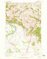
1970 Map of Sidney
USGS Topo · Published 1972About this map
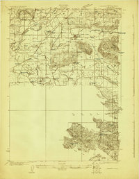
Ankeny National Wildlife Refuge dominates the central lowlands of the American Bottom, a broad floodplain defined by the winding course of the Willamette River. This 1970 survey illustrates a landscape shaped by both natural waterways and the agricultural infrastructure of Marion County, where the Santiam River merges into the Willamette at the southern edge of the sheet. The proximity of the Oregon Electric railroad line to rural siding stops like Sidney and small settlements like Talbot reveals the historic transport network used to move crops and timber through the valley.
Find a feature on this map
60 named features on this map. Tap any name to fly to it.
Don’t see what you’re looking for? This feature index may not catch every label — zoom into the map to look around manually.
Map Details
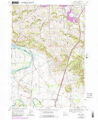
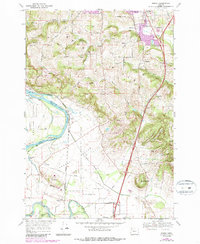
Editions of this 1970 Sidney Map
3 editions found
Other maps of this area
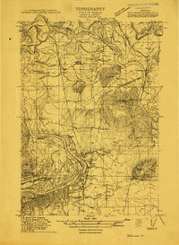
1912 · Jefferson
USGS Topo · 1:31,680
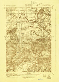
1913 · Wells
USGS Topo · 1:31,680
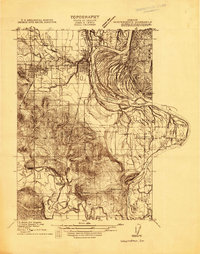
1914 · Independence
USGS Topo · 1:31,680
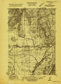
1915 · Rickreall
USGS Topo · 1:31,680
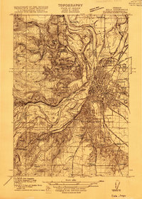
1915 · Eola
USGS Topo · 1:31,680
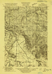
1915 · Sidney
USGS Topo · 1:31,680
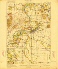
1916 · Albany
USGS Topo · 1:62,500
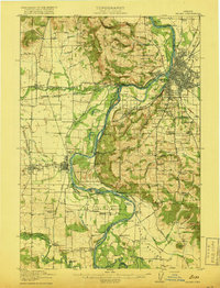
1917 · Salem
USGS Topo · 1:62,500
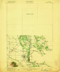
1921 · Lebanon
USGS Topo · 1:62,500
1922 · Lebanon
USGS Topo · 1:48,000