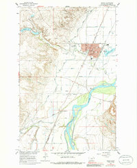
1966 Map of Sidney
USGS Topo · Published 1985About this map
The Yellowstone River snakes through the heart of this landscape, its wide floodplain punctuated by the Sidney township and the surrounding irrigated valley. During the mid-1960s, the region was a bustling hub for the Great Northern and Burlington Northern railroads, which converged at Newlon Junction. The map details the civic infrastructure of the era, including the Sidney-Richland Airport and the County Fairground, alongside the cultural legacy of the Lewis and Clark Trail following the river’s western bank.
Find a feature on this map
43 named features on this map. Tap any name to fly to it.
Don’t see what you’re looking for? This feature index may not catch every label — zoom into the map to look around manually.
Map Details
Editions of this 1966 Sidney Map
2 editions found
Other maps of this area

1909 · Glendive
USGS Topo · 1:250,000

1954 · Glendive
USGS Topo · 1:250,000

1957 · Glendive
USGS Topo · 1:250,000

1958 · Glendive
USGS Topo · 1:250,000

1966 · Crane NE
USGS Topo · 1:24,000

1966 · Piche
USGS Topo · 1:24,000

1966 · Crane
USGS Topo · 1:24,000

1966 · Sidney NE
USGS Topo · 1:24,000

1966 · Sidney
USGS Topo · 1:24,000

1972 · Brorson
USGS Topo · 1:24,000