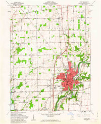
1961 Map of Sidney
USGS Topo · Published 1962About this map
The Miami River corridor anchors this 1961 portrait of Sidney, where the industrial and municipal center of Shelby County sits at the intersection of the Baltimore and Ohio and New York Central railroads. The map illustrates the city's mid-century expansion, featuring prominent community landmarks like the Wilson Hospital, County Fairgrounds, and several neighborhood schools such as Longfellow Sch and Whittier Sch. Beyond the urban core, the landscape transitions into the productive agricultural townships of Clinton, Turtle Creek, and Franklin.
Find a feature on this map
105 named features on this map. Tap any name to fly to it.
Don’t see what you’re looking for? This feature index may not catch every label — zoom into the map to look around manually.
Map Details
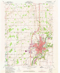
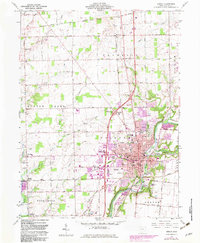
Editions of this 1961 Sidney Map
3 editions found
Other maps of this area

1909 · Loramie
USGS Topo · 1:62,500

1911 · Loramie
USGS Topo · 1:62,500

1911 · Covington
USGS Topo · 1:62,500

1913 · Sidney
USGS Topo · 1:62,500

1914 · Troy
USGS Topo · 1:62,500

1944 · Covington
USGS Topo · 1:62,500

1944 · Sidney
USGS Topo · 1:62,500

1944 · Loramie
USGS Topo · 1:62,500

1944 · Troy
USGS Topo · 1:62,500

1953 · Muncie
USGS Topo · 1:250,000