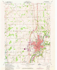
1961 Map of Sidney
USGS Topo · Published 1973About this map
The industrial and civic hub of Sidney anchors this mid-century portrait of Shelby County, situated along the Great Miami River. This 1970s photorevised edition reveals the city's infrastructure at a point of modernization, including the Wilson Hospital and the County Fairgrounds. The local transport network is particularly visible, showing the Penn Central and Baltimore and Ohio railroads intersecting the urban grid, while the trace of the Miami and Erie Canal follows the riverbank to the east.
Find a feature on this map
77 named features on this map. Tap any name to fly to it.
Don’t see what you’re looking for? This feature index may not catch every label — zoom into the map to look around manually.
Map Details
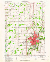
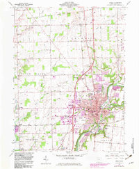
Editions of this 1961 Sidney Map
3 editions found
Other maps of this area

1909 · Loramie
USGS Topo · 1:62,500

1911 · Loramie
USGS Topo · 1:62,500

1911 · Covington
USGS Topo · 1:62,500

1913 · Sidney
USGS Topo · 1:62,500

1914 · Troy
USGS Topo · 1:62,500

1944 · Covington
USGS Topo · 1:62,500

1944 · Sidney
USGS Topo · 1:62,500

1944 · Loramie
USGS Topo · 1:62,500

1944 · Troy
USGS Topo · 1:62,500

1953 · Muncie
USGS Topo · 1:250,000