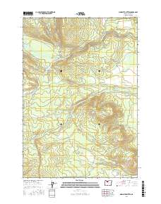
2017 Map of Sidwalter Buttes
USGS Topo · Published 2017About this map
Sidwalter Buttes anchor this high-plateau landscape within the Warm Springs Reservation, where a complex network of Bureau of Indian Affairs (BIA) and timber roads crisscrosses the high country. The hydrological patterns here are defined by the Warm Springs River and its major tributaries, including the S Fork Warm Springs River and Badger Cr. These water sources support distinct grazing and ecological zones such as Warm Springs Meadows and the expansive Schoolie Pasture.
Find a feature on this map
52 named features on this map. Tap any name to fly to it.
Don’t see what you’re looking for? This feature index may not catch every label — zoom into the map to look around manually.
Map Details
Editions of this 2017 Sidwalter Buttes Map
This is the sole edition of this map. No revisions or reprints were ever made.
Other maps of this area

1924 · Mount Hood
USGS Topo · 1:125,000

1927 · Mount Hood
USGS Topo · 1:125,000

1927 · Mt. Jefferson
USGS Topo · 1:125,000

1928 · Madras
USGS Topo · 1:125,000

1930 · Mt. Jefferson
USGS Topo · 1:125,000

1930 · Dufur
USGS Topo · 1:125,000

1931 · Madras
USGS Topo · 1:125,000

1934 · Dufur
USGS Topo · 1:125,000

1953 · The Dalles
USGS Topo · 1:250,000

1955 · Bend
USGS Topo · 1:250,000