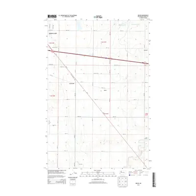
2014 Map of Sieler
USGS Topo · Published 2014About this map
Moses Lake and the surrounding agricultural landscape of Grant County are defined by a meticulous grid of rural routes and irrigation-related features in this 2014 survey. Small named locales like Sieler, McDonald, and Atwood appear along the transportation corridors, marking points of local significance within the vast township divisions of t19n r28e and t18n r29e. The terrain is shaped by the presence of Lind Coulee in the southeast and the industrial water management sites of Carnation-Waste Pond and Carnation Waste Pond Number Six to the north.
Find a feature on this map
42 named features on this map. Tap any name to fly to it.
Don’t see what you’re looking for? This feature index may not catch every label — zoom into the map to look around manually.
Map Details
Editions of this 2014 Sieler Map
This is the sole edition of this map. No revisions or reprints were ever made.
Other maps of this area

1912 · Moses Lake
USGS Topo · 1:62,500

1923 · Corfu
USGS Topo · 1:62,500

1923 · Wheeler
USGS Topo · 1:62,500

1924 · Othello
USGS Topo · 1:62,500

1925 · Wheeler
USGS Topo · 1:62,500

1951 · Corfu
USGS Topo · 1:62,500

1953 · Walla Walla
USGS Topo · 1:250,000

1953 · Ritzville
USGS Topo · 1:250,000

1954 · Warden
USGS Topo · 1:24,000

1954 · Soda Lake
USGS Topo · 1:24,000