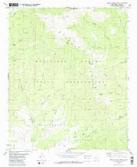
1982 Map of Sierra Blanca Peak
USGS Topo · Published 1986About this map
The Mescalero Apache Indian Reservation dominates this high-altitude terrain, centered on the dramatic rise of Sierra Blanca Peak. This 1982 map details the complex drainage systems of the Sierra Blanca, where water sources like Mirror Springs and Cienegita Springs provide vital points of interest in a landscape of deep canyons and seasonal draws. The southern portion of the sheet features the broad formation known as The Rinconada, a significant geographical landmark that organizes the local topography.
Find a feature on this map
32 named features on this map. Tap any name to fly to it.
Don’t see what you’re looking for? This feature index may not catch every label — zoom into the map to look around manually.
Map Details
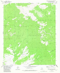
Editions of this 1982 Sierra Blanca Peak Map
2 editions found
Other maps of this area

1950 · Sierra Blanca Peak
USGS Topo · 1:62,500

1950 · Mescalero
USGS Topo · 1:62,500

1955 · Roswell
USGS Topo · 1:250,000

1958 · Roswell
USGS Topo · 1:250,000

1962 · Roswell
USGS Topo · 1:250,000

1963 · Ruidoso
USGS Topo · 1:24,000

1963 · Angus
USGS Topo · 1:24,000

1963 · Apache Summit
USGS Topo · 1:24,000
1981 · Golondrina Draw
USGS Topo · 1:24,000
1981 · Cat Mountain
USGS Topo · 1:24,000