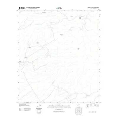
2012 Map of Sierra Parda
USGS Topo · Published 2012About this map
Nunez Ranch and the winding course of Pinto Canyon Rd define the human footprint in this high-desert landscape of West Texas. This 2012 survey by the U.S. Geological Survey details a region dominated by sharp relief and vital water sources, including Ojo Alamito and Ojo Acebuche. The drainage network is particularly dense here, with named seasonal watercourses like Arenoso Arroyo, Gato Arroyo, and Panales Arroyo carving through the terrain.
Find a feature on this map
14 named features on this map. Tap any name to fly to it.
Don’t see what you’re looking for? This feature index may not catch every label — zoom into the map to look around manually.
Map Details
Editions of this 2012 Sierra Parda Map
This is the sole edition of this map. No revisions or reprints were ever made.
Other maps of this area

1895 · Marfa
USGS Topo · 1:125,000

1896 · Ruidosa
USGS Topo · 1:125,000

1896 · San Carlos
USGS Topo · 1:125,000

1896 · Shafter
USGS Topo · 1:125,000

1959 · Presidio
USGS Topo · 1:250,000

1959 · Marfa
USGS Topo · 1:250,000

1965 · Presidio
USGS Topo · 1:250,000

1965 · Marfa
USGS Topo · 1:250,000

1966 · Adobes
USGS Topo · 1:24,000

1978 · Sierra Parda
USGS Topo · 1:24,000