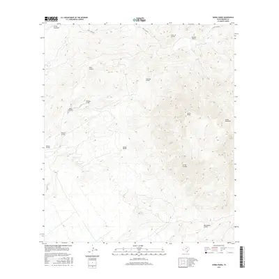
2016 Map of Sierra Parda
USGS Topo · Published 2016About this map
Sierra Parda and the surrounding high desert of Presidio County define this terrain, where steep-sided canyons and ephemeral arroyos drop away from the Chinati Mountains. The map traces the vital water sources of this arid landscape, including Indian Spring, Ojo Alamito, and Ojo Acebuche, which have served as critical landmarks for travelers and ranchers for generations. Human impact remains sparse, primarily marked by the winding path of Pinto Canyon Rd as it cuts through the northern reaches near Pinto Canyon. The complex network of drainages, from Arroyo Cienega to Cañon de Caballo, reveals a highly fractured topography that dictates the movement and settlement patterns of this West Texas region.
Find a feature on this map
18 named features on this map. Tap any name to fly to it.
Don’t see what you’re looking for? This feature index may not catch every label — zoom into the map to look around manually.
Map Details
Editions of this 2016 Sierra Parda Map
This is the sole edition of this map. No revisions or reprints were ever made.
Other maps of this area

1895 · Marfa
USGS Topo · 1:125,000

1896 · Ruidosa
USGS Topo · 1:125,000

1896 · San Carlos
USGS Topo · 1:125,000

1896 · Shafter
USGS Topo · 1:125,000

1959 · Presidio
USGS Topo · 1:250,000

1959 · Marfa
USGS Topo · 1:250,000

1965 · Presidio
USGS Topo · 1:250,000

1965 · Marfa
USGS Topo · 1:250,000

1966 · Adobes
USGS Topo · 1:24,000

1978 · Sierra Parda
USGS Topo · 1:24,000