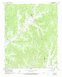
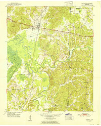
1961 Map of Silerton
USGS Topo · Published 1990About this map
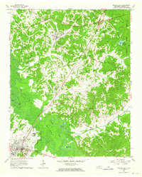
The rolling timberlands and creek valleys of Chickasaw State Park dominate this 1961 landscape at the border of Hardeman and Chester counties. The Gulf Mobile and Ohio railroad cuts a north-south path through the center of the map, serving the community of Silerton and passing by Todd Siding to the south. This era shows a rural network heavily defined by its cemeteries and small congregations, including Old Concord Cem, Coopers Chapel Cem, and Palestine Ch, which often served as the social anchors for the surrounding farmsteads.
Find a feature on this map
40 named features on this map. Tap any name to fly to it.
Don’t see what you’re looking for? This feature index may not catch every label — zoom into the map to look around manually.
Map Details
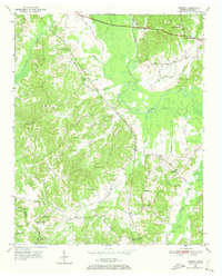
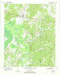
Editions of this 1961 Silerton Map
2 editions found
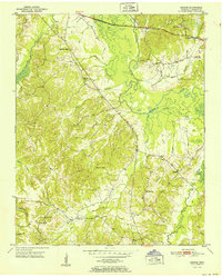
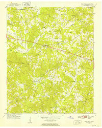
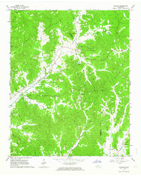
Other maps of this area
1950 · Hebron
USGS Topo · 1:24,000
1950 · Hornsby
USGS Topo · 1:24,000
1951 · Hebron
USGS Topo · 1:24,000
1951 · Hornsby
USGS Topo · 1:24,000
1951 · Rose Creek
USGS Topo · 1:24,000

1956 · Blytheville
USGS Topo · 1:250,000

1959 · Blytheville
USGS Topo · 1:250,000
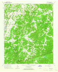
1961 · Medon
USGS Topo · 1:24,000
1961 · Silerton
USGS Topo · 1:24,000
1961 · Bolivar East
USGS Topo · 1:24,000