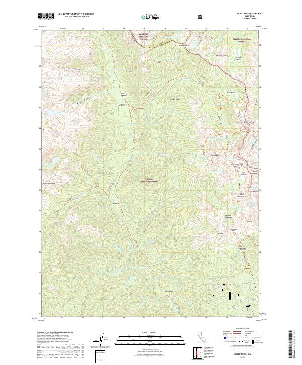
2022 Map of Siligo Peak
USGS Topo · Published 2022About this map
Morris Meadows and the surrounding high-altitude terrain of the Trinity Alps define this portion of Northern California at the intersection of the Shasta, Klamath, and Trinity National Forests. This landscape is characterized by a dense network of trails and natural features, highlighting the area's importance for wilderness recreation and resource management. Historically significant water engineering is evident through the presence of the Buckeye Ditch and La Grange Ditch, which trace the contours of the drainage basins. High peaks such as Siligo Peak, Seven Up Peak, and Tri-Forest Peak serve as primary landmarks for the region. The map meticulously details the complex topography, from the depths of Devils Canyon to the alpine waters of Salmon Lake and Smith Lake, providing an essential guide to the geography of the Siskiyou and Trinity county border.
Find a feature on this map
91 named features on this map. Tap any name to fly to it.
Don’t see what you’re looking for? This feature index may not catch every label — zoom into the map to look around manually.
Map Details
Editions of this 2022 Siligo Peak Map
This is the sole edition of this map. No revisions or reprints were ever made.
Other maps of this area

1886 · Shasta
USGS Topo · 1:250,000

1890 · Red Bluff
USGS Topo · 1:250,000

1894 · Red Bluff
USGS Topo · 1:250,000

1894 · Shasta
USGS Topo · 1:250,000

1909 · Big Bar
USGS Topo · 1:96,000

1913 · Weaverville
USGS Topo · 1:125,000

1915 · Big Bar and Vicinity
USGS Topo · 1:250,000

1923 · Sawyers Bar
USGS Topo · 1:125,000

1931 · Etna
USGS Topo · 1:96,000

1934 · Etna
USGS Topo · 1:125,000