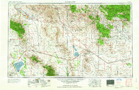
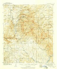
1958 Map of Silver City
USGS Topo · Published 1958About this map
Silver City and the surrounding mining districts of southwestern New Mexico are meticulously documented in this mid-century survey, showcasing a landscape defined by the extraction of copper and silver. The map highlights the massive operations at the Chino Mine, Tyrone Mine, and Morenci Mine, illustrating the industrial scale of the region's economy. The Continental Divide winds through the high country, separating the drainages of the Gila River and the Mimbres River.
Find a feature on this map
155 named features on this map. Tap any name to fly to it.
Don’t see what you’re looking for? This feature index may not catch every label — zoom into the map to look around manually.
Map Details
Editions of this 1958 Silver City Map
This is the sole edition of this map. No revisions or reprints were ever made.
Other maps of this area
1899 · Deming
USGS Topo · 1:125,000
1902 · Clifton
USGS Topo · 1:62,500
1909 · Silver City
USGS Topo · 1:125,000
1910 · Mogollon
USGS Topo · 1:125,000
1911 · Alum Mountain
USGS Topo · 1:125,000
1912 · Mogollon
USGS Topo · 1:125,000
1913 · Alum Mountain
USGS Topo · 1:125,000
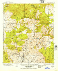
1913 · Morenci
USGS Topo · 1:125,000
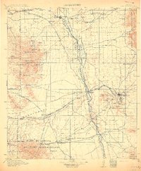
1915 · Benson
USGS Topo · 1:125,000
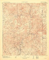
1915 · Morenci
USGS Topo · 1:125,000