
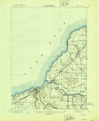
1899 Map of Silver Creek
USGS Topo · Published 1899About this map
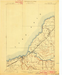
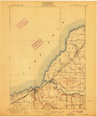
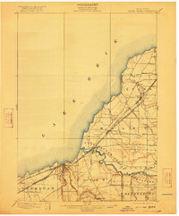
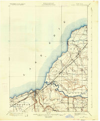
Lake Erie defines the western edge of this 1898 survey, where the rugged shoreline meets a landscape dominated by the winding path of Cattaraugus Creek. This waterway serves as a natural corridor and a boundary for the Cattaraugus Indian Reservation, which occupies a significant portion of the interior. The late-century industrial growth of the region is evident in the dense network of competing rail lines that hug the coast, including the Lake Shore and Michigan Southern R. R. and the Pennsylvania R. R., connecting lakefront settlements like Silver Creek and Irving. Inland, the map reveals a more agrarian character centered around small hamlets such as Smiths Mills, Hanover Center, and Brant. The topography shows the complex drainage of the Lake Erie basin, with numerous smaller streams like Eighteen Mile Creek and Big Sister Creek carving deep channels through the townships of Evans and Hanover toward the lake.
Find a feature on this map
34 named features on this map. Tap any name to fly to it.
Don’t see what you’re looking for? This feature index may not catch every label — zoom into the map to look around manually.
Map Details
Editions of this 1899 Silver Creek Map
7 editions found
Other maps of this area

1894 · Buffalo
USGS Topo · 1:62,500

1900 · Dunkirk
USGS Topo · 1:62,500

1900 · Cherry Creek
USGS Topo · 1:62,500

1901 · Buffalo
USGS Topo · 1:62,500

1905 · Eden
USGS Topo · 1:62,500

1907 · Eden
USGS Topo · 1:62,500

1923 · Cattaraugus
USGS Topo · 1:62,500

1938 · Cattaraugus
USGS Topo · 1:62,500

1941 · Cattaraugus
USGS Topo · 1:62,500

1941 · Cherry Creek
USGS Topo · 1:62,500