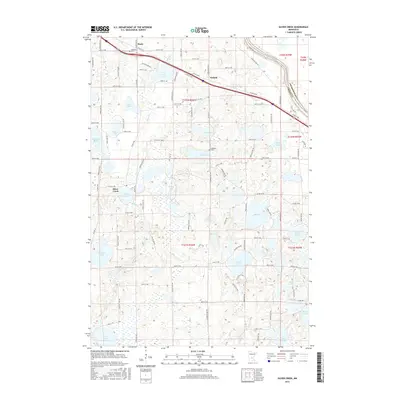
2016 Map of Silver Creek
USGS Topo · Published 2016About this map
Silver Creek and the surrounding township in Wright County are defined by a complex network of glacial kettle lakes and wetlands in this modern survey. The Mississippi River forms the northeastern boundary, marking the divide with Sherburne County, while the settlements of Hasty and Enfield sit along the primary transit corridor of Co Rd 75 NW. The landscape is dotted with numerous water bodies, including the large basins of Locke Lake, Ida Lake, and Eagle Lake, which serve as focal points for local geography. Historical continuity is visible at sites like Highland Cem near the river and Lakeside Cem near West Lake, which provide reference points for genealogical research in this region of central Minnesota.
Find a feature on this map
65 named features on this map. Tap any name to fly to it.
Don’t see what you’re looking for? This feature index may not catch every label — zoom into the map to look around manually.
Map Details
Editions of this 2016 Silver Creek Map
This is the sole edition of this map. No revisions or reprints were ever made.
Other maps of this area

1951 · Annandale
USGS Topo · 1:62,500

1953 · Saint Cloud
USGS Topo · 1:250,000

1953 · Stillwater
USGS Topo · 1:250,000

1955 · Stillwater
USGS Topo · 1:250,000

1957 · Saint Cloud
USGS Topo · 1:250,000

1958 · Stillwater
USGS Topo · 1:250,000

1958 · Saint Cloud
USGS Topo · 1:250,000

1958 · Buffalo
USGS Topo · 1:62,500

1958 · Cokato
USGS Topo · 1:62,500

1961 · Clear Lake
USGS Topo · 1:24,000