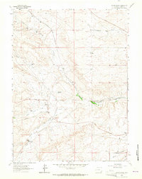
1962 Map of Silver Crown
USGS Topo · Published 1964About this map
Ranching and irrigation define this pocket of Laramie County, where numerous family operations like the Adolphson Ranch and Old Francis Ranch are connected by the branching waters of Crow Creek. The map documents a sophisticated water management system designed for this semi-arid landscape, featuring the Gilchrist Reservoir, Gilchrist Ditch No 4, and Gilchrist Ditch No 9, alongside an extensive aqueduct network. The Colorado and Southern railroad cuts across the eastern terrain, serving as a vital link for the regional economy.
Find a feature on this map
27 named features on this map. Tap any name to fly to it.
Don’t see what you’re looking for? This feature index may not catch every label — zoom into the map to look around manually.
Map Details
Editions of this 1962 Silver Crown Map
3 editions found
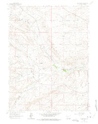
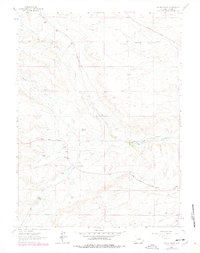
Other maps of this area

1905 · Sherman
USGS Topo · 1:125,000

1911 · Cheyenne
USGS Topo · 1:125,000

1914 · Cheyenne
USGS Topo · 1:125,000

1950 · Cheyenne
USGS Topo · 1:62,500

1954 · Cheyenne
USGS Topo · 1:250,000

1958 · Cheyenne
USGS Topo · 1:250,000

1961 · Round Top Lake
USGS Topo · 1:24,000
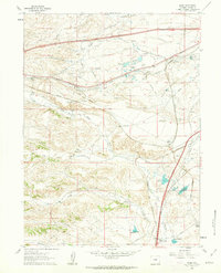
1961 · Borie
USGS Topo · 1:24,000

1961 · Cheyenne
USGS Topo · 1:62,500

1962 · Federal
USGS Topo · 1:24,000