
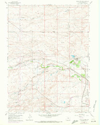
1961 Map of Round Top Lake
USGS Topo · Published 1963About this map
Francis E Warren Air Force Base dominates the eastern edge of this landscape, where military infrastructure meets the specialized agricultural research of the Department of Agriculture Horticultural Field Station. The area is defined by a sophisticated water management network, featuring a prominent aqueduct system and several utility installations including a Filtration Plant, Pumping Sta, and Water Tank near Round Top Lake.
Find a feature on this map
53 named features on this map. Tap any name to fly to it.
Don’t see what you’re looking for? This feature index may not catch every label — zoom into the map to look around manually.
Map Details
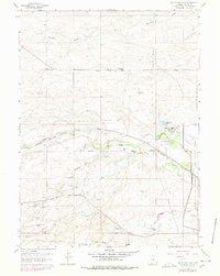
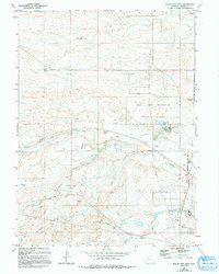
Editions of this 1961 Round Top Lake Map
4 editions found
Other maps of this area

1905 · Sherman
USGS Topo · 1:125,000

1911 · Cheyenne
USGS Topo · 1:125,000

1914 · Cheyenne
USGS Topo · 1:125,000

1950 · Cheyenne
USGS Topo · 1:62,500

1954 · Cheyenne
USGS Topo · 1:250,000

1958 · Cheyenne
USGS Topo · 1:250,000

1961 · Cheyenne South
USGS Topo · 1:24,000
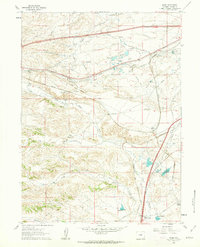
1961 · Borie
USGS Topo · 1:24,000

1961 · Cheyenne
USGS Topo · 1:62,500

1961 · Cheyenne North
USGS Topo · 1:24,000