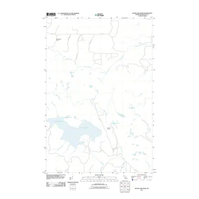
2011 Map of Silver Lake Basin
USGS Topo · Published 2011About this map
The Silver Lake Basin dominates this portion of the Michigan Upper Peninsula, serving as a primary hydrologic focal point for a landscape defined by significant river systems and upland plains. Flowing across the northern section, the Yellow Dog River passes several dramatic drops, including Wylie Falls and Pinnacle Falls, as it traverses the Yellow Dog Plains. These sandy, glacial outwash plains contrast with the more varied topography found near the Mulligan Plains to the south.
Find a feature on this map
35 named features on this map. Tap any name to fly to it.
Don’t see what you’re looking for? This feature index may not catch every label — zoom into the map to look around manually.
Map Details
Editions of this 2011 Silver Lake Basin Map
This is the sole edition of this map. No revisions or reprints were ever made.
Other maps of this area

1954 · Negaunee SW
USGS Topo · 1:24,000

1954 · Negaunee
USGS Topo · 1:62,500

1954 · Huron Mountain
USGS Topo · 1:62,500

1954 · Big Bay
USGS Topo · 1:62,500

1955 · Champion
USGS Topo · 1:24,000

1955 · Diorite
USGS Topo · 1:24,000

1955 · Champion
USGS Topo · 1:62,500

1958 · Marquette
USGS Topo · 1:250,000

1960 · Marquette
USGS Topo · 1:250,000

1961 · Marquette
USGS Topo · 1:250,000