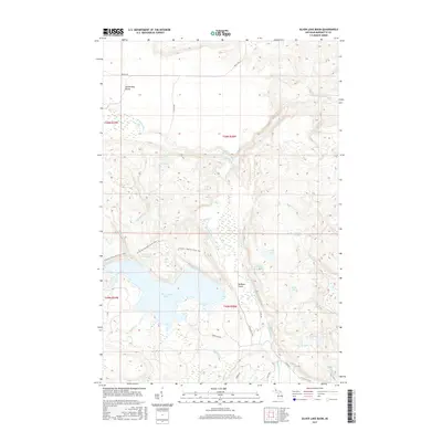
2017 Map of Silver Lake Basin
USGS Topo · Published 2017About this map
Silver Lake Basin and its surrounding highlands dominate this section of Marquette County, defining a landscape shaped by water and elevation. The northern reaches are characterized by the Yellow Dog Plains, where the Yellow Dog River winds through the terrain, punctuated by significant drops at Wylie Falls and Pinnacle Falls. Historically, the area reflects a transition from early extraction to recreation, evidenced by the presence of Silver Lead Mine Lake and the extensive N Country National Scenic Trail that traverses the ridges. A complex network of smaller water bodies like Stag Lake and Island Lake feeds into the larger basins, while the Dead River flows along the southern edge. The topography is further marked by the Mulligan Plains and several numbered lakes, such as 2 Lake and 8 Lake, illustrating the dense hydrography of this Michigan interior.
Find a feature on this map
39 named features on this map. Tap any name to fly to it.
Don’t see what you’re looking for? This feature index may not catch every label — zoom into the map to look around manually.
Map Details
Editions of this 2017 Silver Lake Basin Map
This is the sole edition of this map. No revisions or reprints were ever made.
Other maps of this area

1954 · Negaunee SW
USGS Topo · 1:24,000

1954 · Negaunee
USGS Topo · 1:62,500

1954 · Huron Mountain
USGS Topo · 1:62,500

1954 · Big Bay
USGS Topo · 1:62,500

1955 · Champion
USGS Topo · 1:24,000

1955 · Diorite
USGS Topo · 1:24,000

1955 · Champion
USGS Topo · 1:62,500

1958 · Marquette
USGS Topo · 1:250,000

1960 · Marquette
USGS Topo · 1:250,000

1961 · Marquette
USGS Topo · 1:250,000