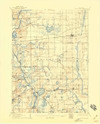
1906 Map of Silver Lake
USGS Topo · Published 1932About this map
The Fox River and Des Plaines River systems define the glaciated landscape of southeastern Wisconsin in this 1904 revision. This territory is densely marked by glacial lakes, from the large Eagle Lake in the north to the cluster of Silver Lake, Camp Lake, and Twin Lakes near the state border. Small agricultural hubs like Union Grove, Salem, and Kansasville anchor the landscape, many of which developed along the critical corridors of the Chicago Milwaukee and St. Paul Railroad and the Chicago and Northwestern Railroad.
Find a feature on this map
46 named features on this map. Tap any name to fly to it.
Don’t see what you’re looking for? This feature index may not catch every label — zoom into the map to look around manually.
Map Details
Editions of this 1906 Silver Lake Map
3 editions found

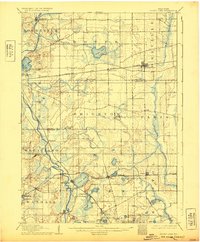
Other maps of this area

1891 · Bayview
USGS Topo · 1:62,500

1891 · Muskego
USGS Topo · 1:62,500

1892 · Racine
USGS Topo · 1:62,500

1892 · Eagle
USGS Topo · 1:62,500

1893 · Silver Lake
USGS Topo · 1:62,500

1893 · Geneva
USGS Topo · 1:62,500

1894 · Eagle
USGS Topo · 1:62,500

1897 · Eagle
USGS Topo · 1:62,500

1901 · Bayview
USGS Topo · 1:62,500

1901 · Muskego
USGS Topo · 1:62,500