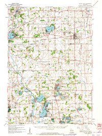
1960 Map of Silver Lake
USGS Topo · Published 1962About this map
The Richard Bong Air Force Base (Abandoned) dominates the center of this Kenosha County landscape, representing a significant Cold War era project that was halted before completion. This 1960s perspective captures the region’s evolution from agricultural roots to a mix of recreational and institutional uses. To the east, the Great Lakes Dragway and Southern Wisconsin Colony and Training Sch mark the social fabric of the time, while the southern reaches near Wilmot feature the Wilmot Hills Raceway. Numerous lakeside communities such as Eagle Lake Manor, Paddock Lake, and Camp Lake show the density of mid-century development around the area's glacial waters. Older rural patterns are preserved in labels like the English Settlement Sch and Salem Mound Cem, offering a deep look at the local history of Salem, Bristol, and Union Grove before the expansion of the modern interstate system changed the character of these crossroads.
Find a feature on this map
105 named features on this map. Tap any name to fly to it.
Don’t see what you’re looking for? This feature index may not catch every label — zoom into the map to look around manually.
Map Details
Editions of this 1960 Silver Lake Map
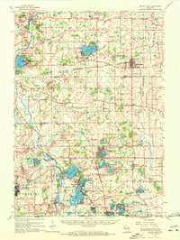
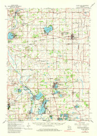
3 editions found
Other maps of this area

1891 · Bayview
USGS Topo · 1:62,500

1891 · Muskego
USGS Topo · 1:62,500

1892 · Racine
USGS Topo · 1:62,500

1892 · Eagle
USGS Topo · 1:62,500

1893 · Silver Lake
USGS Topo · 1:62,500

1893 · Geneva
USGS Topo · 1:62,500

1894 · Eagle
USGS Topo · 1:62,500

1897 · Eagle
USGS Topo · 1:62,500

1901 · Bayview
USGS Topo · 1:62,500

1901 · Muskego
USGS Topo · 1:62,500