
1956 Map of Silver Point
USGS Topo · Published 1957About this map
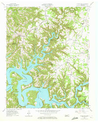
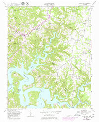
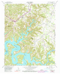
Center Hill Reservoir dominates this mid-1950s landscape, its sprawling waters filling the deep valleys of the Caney Fork and Falling Water River. The map captures the region during a period of transition as the massive reservoir project, subject to controlled inundation to 685 feet, reshaped local geography across the Putnam and De Kalb county line. Despite the rising waters, the established community of Silver Point remains a focal point along the Tennessee Central railroad line, which snakes through the northern hills. Rural life is evidenced by numerous combined school and church sites, such as Carrs Chapel Sch and Nash Chapel Sch, which served as the social heart of dispersed settlements like Hickey and Cherry Hill. Further south, landmarks like Hurricane Bridge and the Cookeville Dock highlight the area's emerging role as a destination for river-based activity.
Find a feature on this map
48 named features on this map. Tap any name to fly to it.
Don’t see what you’re looking for? This feature index may not catch every label — zoom into the map to look around manually.
Map Details
Editions of this 1956 Silver Point Map
4 editions found
Other maps of this area

1893 · Mc Minnville
USGS Topo · 1:125,000

1895 · Mc Minnville
USGS Topo · 1:125,000

1928 · Gordonsville
USGS Topo · 1:62,500

1942 · Statesville
USGS Topo · 1:100,000

1943 · Cookeville
USGS Topo · 1:100,000

1944 · Cookeville
USGS Topo · 1:100,000

1953 · Chattanooga
USGS Topo · 1:250,000

1953 · Cookeville West
USGS Topo · 1:24,000

1955 · Baxter
USGS Topo · 1:24,000
1956 · Burgess Falls
USGS Topo · 1:24,000