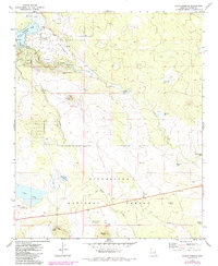
1971 Map of Silver Springs
USGS Topo · Published 1985About this map
Sitgreaves National Forest covers the southern expanse of this Navajo County landscape, where the high desert terrain transitions into timbered uplands and volcanic features. In the early 1970s, the area around Silver Springs shows a mix of water management and recreation, anchored by White Mountain Lake and the nearby Fish Hatchery. The presence of a Landing Strip and the Show Low Municipal Airport indicates the growing accessibility of this region for residents and visitors alike.
Find a feature on this map
33 named features on this map. Tap any name to fly to it.
Don’t see what you’re looking for? This feature index may not catch every label — zoom into the map to look around manually.
Map Details
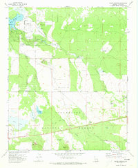
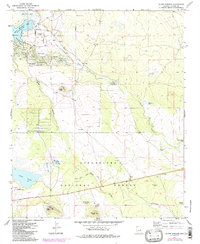
Editions of this 1971 Silver Springs Map
3 editions found
Other maps of this area

1886 · St Johns
USGS Topo · 1:250,000

1886 · Holbrook
USGS Topo · 1:250,000

1892 · St Johns
USGS Topo · 1:250,000

1893 · Holbrook
USGS Topo · 1:250,000

1954 · Holbrook
USGS Topo · 1:250,000

1954 · Saint Johns
USGS Topo · 1:250,000

1957 · Holbrook
USGS Topo · 1:250,000

1957 · Saint Johns
USGS Topo · 1:250,000

1958 · Saint Johns
USGS Topo · 1:250,000

1958 · Holbrook
USGS Topo · 1:250,000