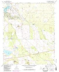
1971 Map of Silver Springs
USGS Topo · Published 1985About this map
Sitgreaves National Forest covers much of this high-altitude landscape, where natural hydrology and ranching infrastructure define the terrain. The northern reaches show development around White Mountain Lake, complete with a Boat Ramp and residential corridors like Silver Lake Drive. This area is a focal point for water management and industry, evidenced by The Forebay, the Silver Springs Fish Hatchery, and several Cinder Pits that suggest local volcanic resource extraction. In the southern half, the land transitions into more open range, marked by numerous livestock-critical features such as Antelope Tank, Bluestem Tank, and the Bourdon Windmill. Geographically prominent landmarks like Cooley Knoll and First Knoll punctuate the arid landscape, while the presence of the Show Low Municipal Airport and a separate Landing Strip indicate the area's importance as a regional aviation hub.
Find a feature on this map
32 named features on this map. Tap any name to fly to it.
Don’t see what you’re looking for? This feature index may not catch every label — zoom into the map to look around manually.
Map Details
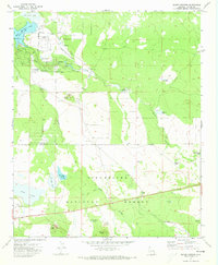
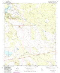
Editions of this 1971 Silver Springs Map
3 editions found
Other maps of this area

1886 · St Johns
USGS Topo · 1:250,000

1886 · Holbrook
USGS Topo · 1:250,000

1892 · St Johns
USGS Topo · 1:250,000

1893 · Holbrook
USGS Topo · 1:250,000

1954 · Holbrook
USGS Topo · 1:250,000

1954 · Saint Johns
USGS Topo · 1:250,000

1957 · Holbrook
USGS Topo · 1:250,000

1957 · Saint Johns
USGS Topo · 1:250,000

1958 · Saint Johns
USGS Topo · 1:250,000

1958 · Holbrook
USGS Topo · 1:250,000