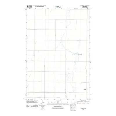
2011 Map of Silverleaf
USGS Topo · Published 2011About this map
The settlement of Silverleaf anchors the southeastern corner of this North Dakota landscape, situated along a section of the Maple River as it meanders through Kentner Township. This 2011 survey illustrates a highly organized agricultural grid, with numbered section lines like 92nd Ave Se and 95th ST Se defining the movement of people and commerce across the prairie. The hydrology of the area is defined by the winding course of the Maple River and its accompanying Maple River Dam, which contrast with the straighter path of the Dry Branch to the west. Local landmarks like Cemetery Rd provide specific points of interest for genealogists tracing family histories in this rural portion of Dickey County, where the transition from riparian zones to cultivated fields remains the dominant spatial pattern.
Find a feature on this map
18 named features on this map. Tap any name to fly to it.
Don’t see what you’re looking for? This feature index may not catch every label — zoom into the map to look around manually.
Map Details
Editions of this 2011 Silverleaf Map
This is the sole edition of this map. No revisions or reprints were ever made.
Other maps of this area

1894 · Monango
USGS Topo · 1:62,500

1894 · Ellendale
USGS Topo · 1:62,500

1894 · Savo
USGS Topo · 1:62,500

1894 · Fullerton
USGS Topo · 1:62,500

1895 · Lamoure
USGS Topo · 1:125,000

1896 · Columbia
USGS Topo · 1:125,000

1896 · Edgeley
USGS Topo · 1:125,000

1899 · Ellendale
USGS Topo · 1:125,000

1918 · La Moure
USGS Topo · 1:125,000

1925 · Edgeley
USGS Topo · 1:125,000