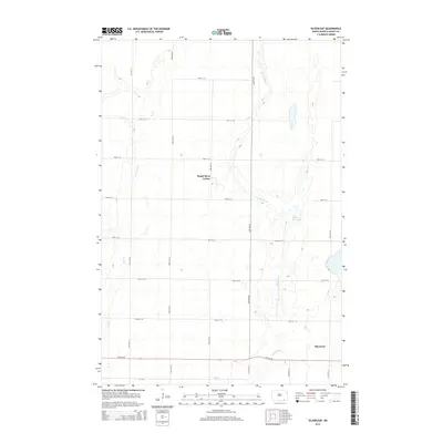
2014 Map of Silverleaf
USGS Topo · Published 2014About this map
Silverleaf sits along the southern edge of this Dickey County landscape, where the prairie is defined by the winding course of the Maple River. This 2014 survey illustrates a rural environment shaped by modern agricultural section lines and water management, notably the Maple River Colony located near the center of the quadrangle. The hydrology of the area is characterized by intermittent drainage and small basins, including the Maple River Lake and the seasonal flows of Dry Branch and Dry Br. The grid of township roads, such as 97th St SE and 94th Ave SE, reveals the enduring spatial organization of the North Dakota plains, connecting isolated farmsteads and agricultural communal centers in a region where the river remains the primary geographic anchor.
Find a feature on this map
21 named features on this map. Tap any name to fly to it.
Don’t see what you’re looking for? This feature index may not catch every label — zoom into the map to look around manually.
Map Details
Editions of this 2014 Silverleaf Map
This is the sole edition of this map. No revisions or reprints were ever made.
Other maps of this area

1894 · Monango
USGS Topo · 1:62,500

1894 · Ellendale
USGS Topo · 1:62,500

1894 · Savo
USGS Topo · 1:62,500

1894 · Fullerton
USGS Topo · 1:62,500

1895 · Lamoure
USGS Topo · 1:125,000

1896 · Columbia
USGS Topo · 1:125,000

1896 · Edgeley
USGS Topo · 1:125,000

1899 · Ellendale
USGS Topo · 1:125,000

1918 · La Moure
USGS Topo · 1:125,000

1925 · Edgeley
USGS Topo · 1:125,000