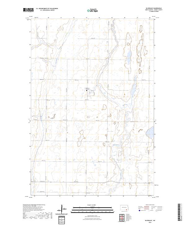
2024 Map of Silverleaf
USGS Topo · Published 2024About this map
The Maple River winds through a landscape defined by extensive conservation efforts in this 2024 map of Dickey County. Large protected tracts, including the Maple River National Wildlife Refuge and numerous units of the Dickey County Waterfowl Production Area, indicate a terrain rich in wetlands and prairie potholes. This rural area is organized around a strict grid of section-line roads such as 91st St SE and 93rd Ave SE, reflecting the legacy of the Public Land Survey System across the North Dakota plains. Near the center of the sheet, the Maple River Colony Cem serves as a small but significant landmark for genealogical research, while the seasonal flow of Dry Branch carves a path through the western townships. The map documents a sparsely populated agricultural environment where the preservation of natural habitat coexists with established farm roads and county routes like Co Rd 8.
Find a feature on this map
27 named features on this map. Tap any name to fly to it.
Don’t see what you’re looking for? This feature index may not catch every label — zoom into the map to look around manually.
Map Details
Editions of this 2024 Silverleaf Map
This is the sole edition of this map. No revisions or reprints were ever made.
Other maps of this area

1894 · Monango
USGS Topo · 1:62,500

1894 · Ellendale
USGS Topo · 1:62,500

1894 · Savo
USGS Topo · 1:62,500

1894 · Fullerton
USGS Topo · 1:62,500

1895 · Lamoure
USGS Topo · 1:125,000

1896 · Columbia
USGS Topo · 1:125,000

1896 · Edgeley
USGS Topo · 1:125,000

1899 · Ellendale
USGS Topo · 1:125,000

1918 · La Moure
USGS Topo · 1:125,000

1925 · Edgeley
USGS Topo · 1:125,000